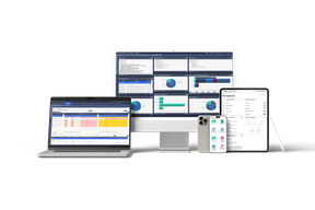
PC Maritime Windows Navigation Software
Navmaster Professional is an electronic chart system for Windows with a range of unique user interface, navigation and safety features. PC Maritime has designed Navmaster with major emphasis on ease of use, navigation information management and compatibility with current and future developments in electronic charting. The development approach taken by PC Maritime is for Navmaster to be independent of chart type, allowing the user to have choice of cartography while also ensuring that navigation calculations are consistent. Navmaster supports the U.K. Hydrographic Office ARCS raster charts and Livechart vector charts. Navmaster displays on-screen all information on the current chart as provided by the chart manufacturer.
Navmaster has been closely designed to the International Hydrographic Office's provisional specification for electronic chart systems, and subjected to stringent design and performance standards during development. Used ashore, Navmaster is a comprehensive route-planning and voyage management system for coastal and ocean navigation. Onboard, Navmaster is an electronic chart system providing the navigator with real time information, simultaneously displayed, and tools for rapidly adjusting and recalculating plans. For more information on PC Maritime, Circle 31 on Reader Service Card


