NOAA Continues Transition to Electronic Navigational Charts
NOAA is continuing with the sunset plan for paper and raster nautical charts in August and September. A set of 15 charts covering the eastern half of the North Slope of Alaska will be moved into last edition status on August 5, 2021 and will be canceled on February 2, 2022. Another set of 14 charts covering the western half of the North Slope will be moved into last edition status on September 2, 2021 and be cancelled on March 2, 2022.
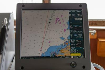
This set of charts has been fully supplanted by new electronic charts as part of NOAA’s Office of Coast Survey Raster Sunset Plan, which includes a new process to notify mariners of the transition of individual paper charts to electronic charts. These charts are easier to update and maintain, keeping mariners safer with up-to-date information on marine hazards.
As part of the sunset plan, released in 2019, mariners will be officially notified of chart cancellations in the U.S. Coast Guard Local Notice to Mariners. Six months before a chart is canceled, NOAA will update the chart with a note in the lower left corner stating the chart’s status as a “last edition” and the date on which it will be canceled.
This will be the last NOAA chart cancellation announcement for the public. As the sunset plan progresses, cancellation notifications of additional paper charts will primarily be via the U.S. Coast Guard Local Notice to Mariners. A list of pending chart cancellations may be viewed on the Coast Survey Dates of Latest Editions webpage. Cancellation of all traditional paper and associated raster chart products will be completed by January 2025.


