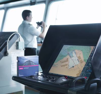
The United Kingdom Hydrographic Office is to release five new Electronic Navigational Charts (ENCs) for the expanded Panama Canal.
The new ENCS are produced by the Panama Canal Authority (PCA) and provide end-to-end coverage of the Canal at a scale of 1:10 000.
They contain new survey data and up-to-date information for the expanded Canal, which will receive its first official transit on June 26.
Jason Scholey, Senior Product Manager at the UKHO, commented: “The Panama Canal serves a vital purpose for international shipping and world trade. Its expansion will not only double the Canal’s capacity, it will also allow post-Panamax vessels to use the Canal to transit directly between the Atlantic and Pacific oceans for the first time.
“In order to stay safe and compliant, we advise all ECDIS-equipped vessels planning to transit the Canal to purchase the new Panama Canal ENCs. Shipping companies should contact their ADMIRALTY Chart Agent for more information.”
The expansion of the Panama Canal has created a new lane of traffic through the construction of a new, larger set of locks and improved navigational channels that will double the capacity of the Canal. The existing locks allowed the passage of up to 5,000 TEU vessels, but the expanded Canal will allow the passage of post-Panamax vessels, capable of carrying up to 13,000/14,000 TEUs.
The ADMIRALTY Vector Chart Service (AVCS) is the world's leading digital maritime chart service, with nearly 15,000 official Electronic Navigational Charts (ENCs) to help bridge crews navigate safely and efficiently.


