
USACE Opens Channel for Commercial Navigation at Monongahela River Locks and Dam 3

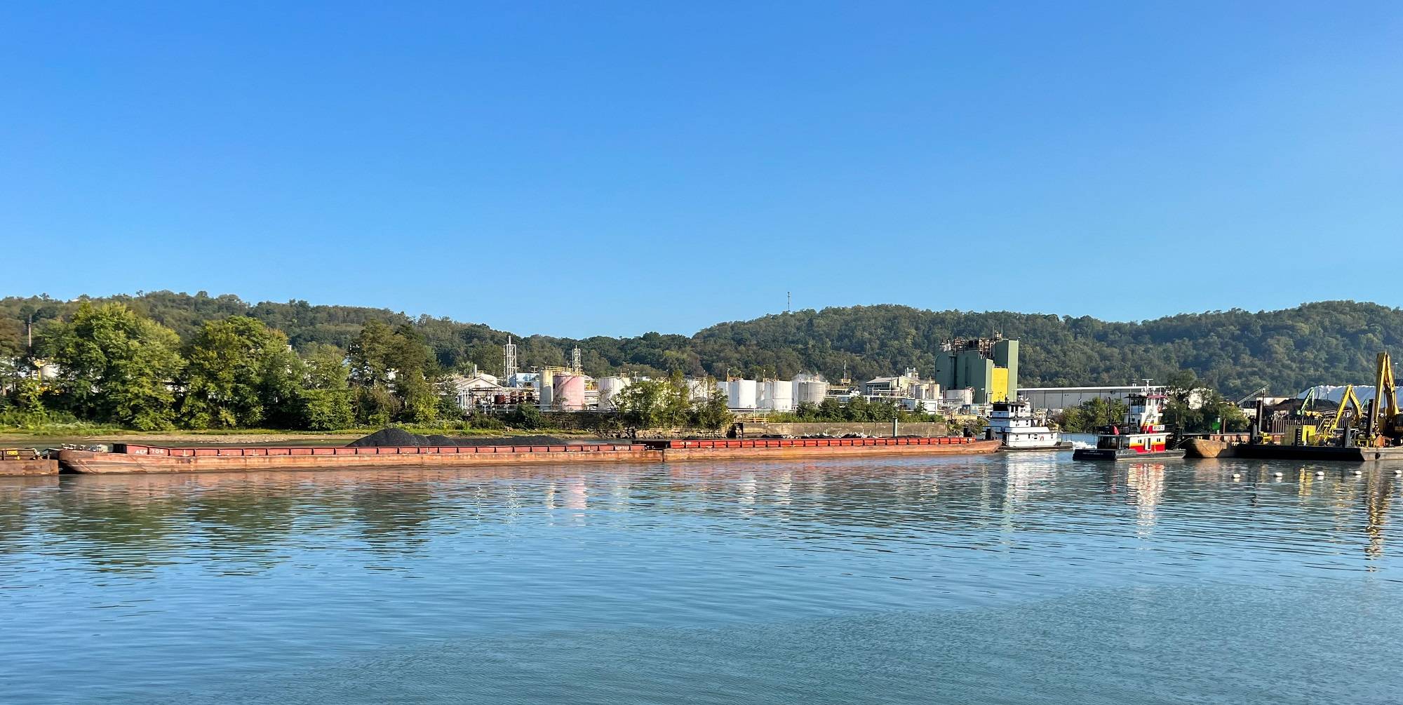
The U.S. Army Corps of Engineers Pittsburgh District opened a 100-foot-wide navigation channel for commercial vessels through the center of the dam at Monongahela River Locks and Dam 3 near Elizabeth, Pa. The first commercial navigation vessel passed through the channel on Thursday, September 5.
“Opening the navigation channel ahead of schedule was a significant achievement,” said Col. Nicholas Melin, commander of the Pittsburgh District.
The Monongahela River Locks and Dam 3 has been operating since 1907, but the facility is prone to flooding and must be shut down during high-water events, resulting in navigation delays. The Corps is therefore removing the dam to create a continuous pool of riverway stretching 30 miles. Work to remove the rest of the dam will continue through the end of this year.
"To restore normal navigation along this section of the Monongahela River required an extraordinary effort between key navigation stakeholders, the construction contractor, and the Corps of Engineers. We’re working with our contractors to complete the full channel opening by December 2024," Melin said.
The newly opened channel has a 56-foot width restriction and a 9-foot draft restriction. Commercial traffic can still use the lock chamber with the 7-foot draft restriction.
Recreational vessels are required to use the lock at Elizabeth to avoid interfering with ongoing construction and commercial navigation. The Corps is urging commercial and recreational vessels to follow the U.S. Coast Guard’s specified navigation routes, notify lock personnel of incoming traffic, and adhere to proper lock-through procedures.
Signage upstream and downstream of the lock will guide vessels to the appropriate entrance and exit points, facilitating safe and efficient passage.
Once the district has completely removed the dam, the river level between the Braddock and John P. Murtha locks and dams will adjust to their new authorized elevation of 723.1 (NAVD 88), approximately one-half to one foot lower than the river level on Sept. 5.