Water Monitoring to Continue at Western Gulf Ports
A water monitoring network that helps keep port traffic moving is the responsibility of the Conrad Blucher Institute (CBI) for Surveying and Science at Texas A&M University-Corpus Christi.
CBI, in partnership with Woods Hole Oceanographic Institution in Massachusetts, has received the federal contract from the National Oceanic and Atmospheric Administration to continue to operate and maintain the water level and ocean monitoring network along the Western Gulf of Mexico. CBI, as a subcontractor, will operate in the Houston/Galveston and Lake Charles, La. areas through the Physical Oceanographic Real-Time System.
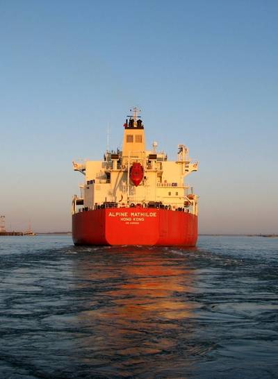
“We are proud to take the lead in maintaining this vital network of scientific instruments,” said Dr. Gary Jeffress, CBI Director. “Keeping these systems up and running helps ensure port traffic continues smoothly and safely. If data from this network isn’t flowing, the risk of vessel collisions and groundings can increase or vessel traffic may slow down, which can severely hamper the $178 billion economic engine these port cities provide to the state of Texas.”
The CBI contract also applies to the National Water Level Observation Network in Texas. The data collected through these stations along the coast also enhance public safety by providing real-time environmental observations, weather measurements and other geospatial information.
Mariners use all of this data to operate as safely and efficiently as possible, which minimizes or eliminates risk of collisions that may damage sensitive wetlands. The information also provides increased efficiency allowing ships to safely navigate with the maximum amount of cargo based on channel depth, which results in higher profits for shipping companies, higher employment rates for port industries and more taxes generated for local port communities.
This extensive system of monitoring stations provides accurate and reliable data that enhances navigation safety, spill response, and search and rescue operations.
The network measures water levels, currents, salinity, winds, air and water temperature and atmospheric pressure.
The team of Woods Hole Group and CBI was selected for their combined expertise in technology management related to the sensors used in the monitoring network.
Houston, the second largest port in the nation by tonnage, generates more than $178 billion in statewide economic impact. The port of Galveston is the nation’s fourth largest cruise terminal, sending out 863,000 passengers in 2012. Lake Charles is the 13th busiest port in the nation.
CBI employs a full time staff of 20 that perform various duties in support of operation and maintenance of these systems. CBI personnel perform operational checks daily ensuring the systems are performing correctly and also perform regularly scheduled and emergency maintenance at each data collection location to ensure real-time data continues.


